國際交流講座-Current applications of GIS and remote sensing for environmental studies and management strategy

  • 首頁
  • /
  • 國際交流講座-Current applications of GIS and remote sensing for environmental studies and management strategy

國際交流講座-Current applications of GIS and remote sensing for environmental studies and management strategy

活動名稱
國際交流講座-Current applications of GIS and remote sensing for environmental studies and management strategy
活動日期
2020-05-13 ~ 2020-05-13
活動地點
商學院C203
參與對象
教師、學生
人數限制
教師1人、學生32人
相關連結
活動目標
邀請外籍學者專家來校演講,對學生介紹GIS(地理資訊系統)與Remote Sensing(遙測)的科技新知,以增廣學生的國際視野。
成果目標

【活動執行說明】
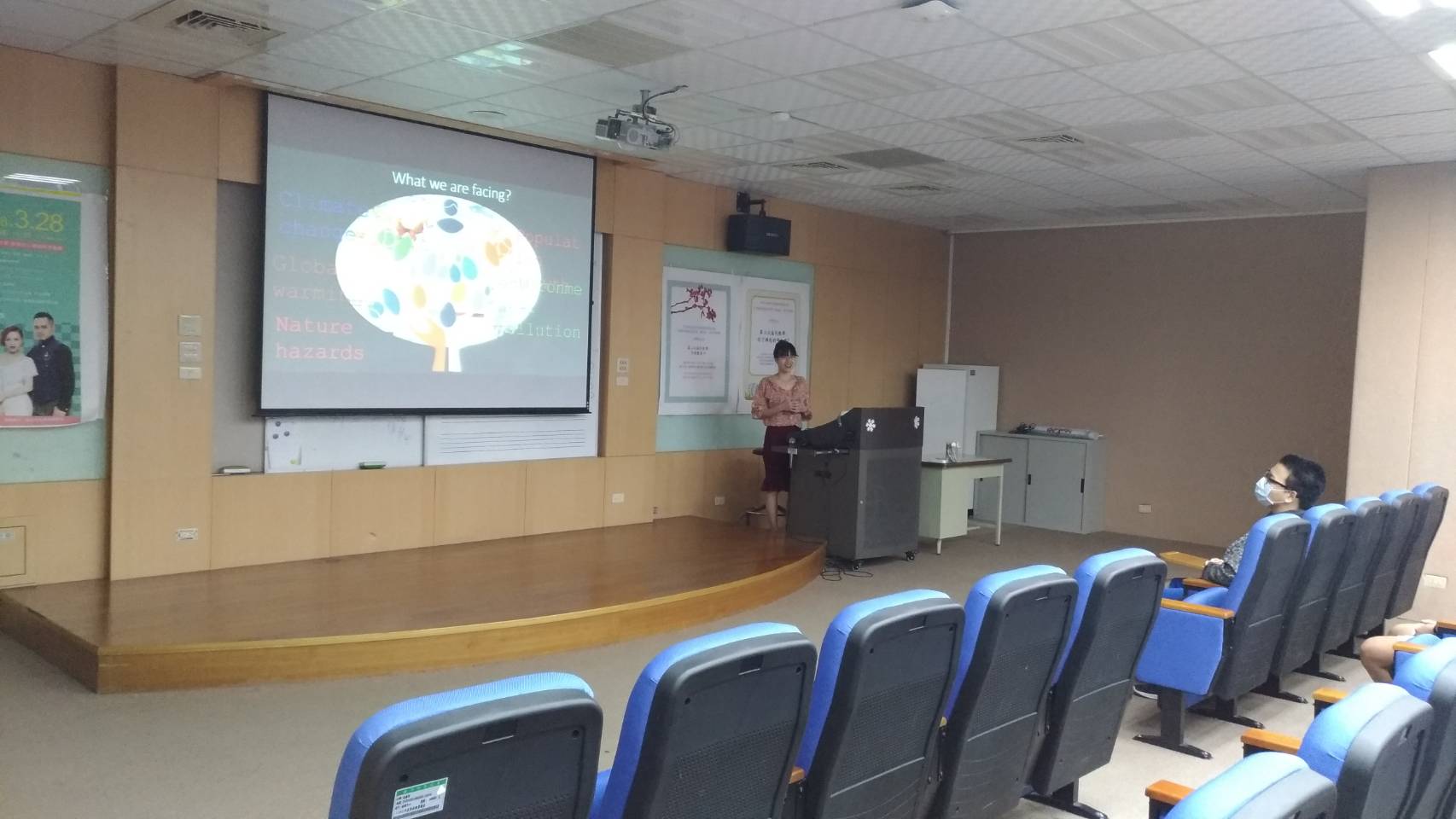
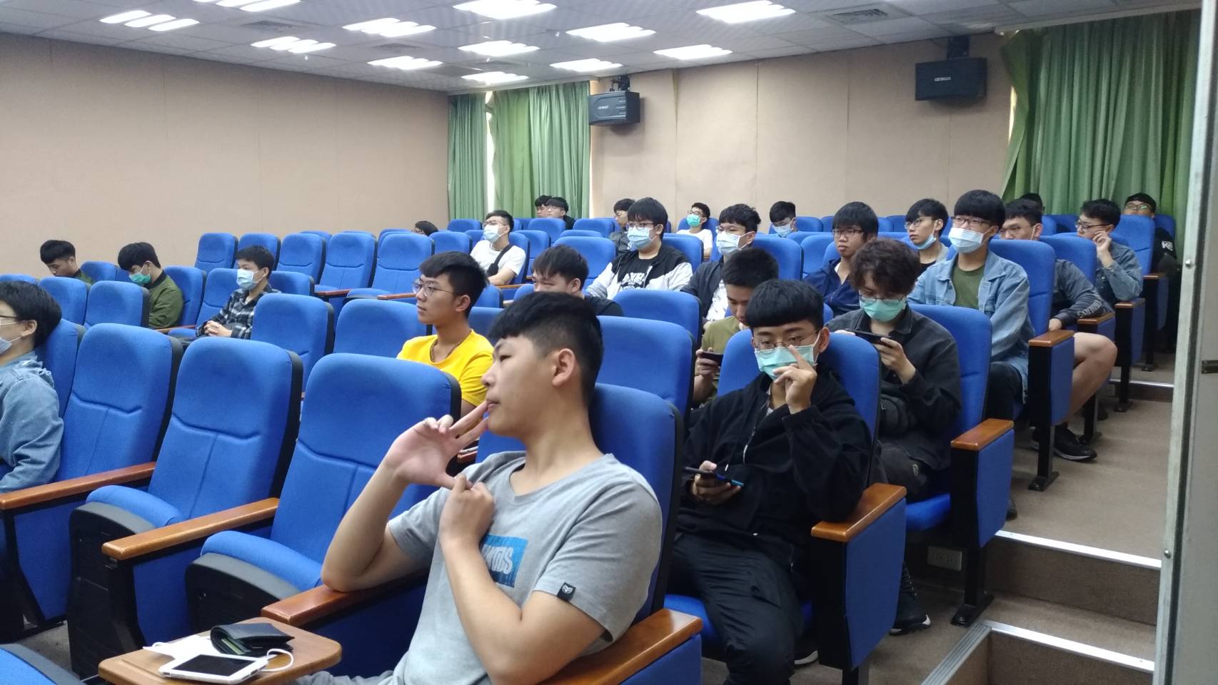
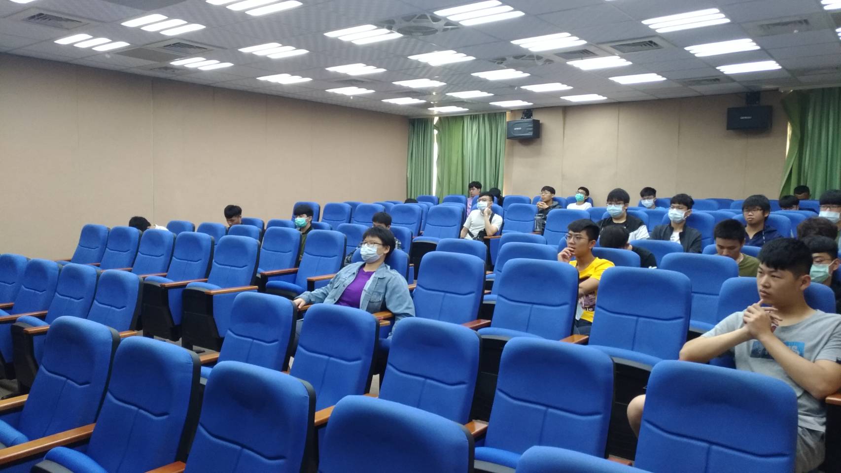
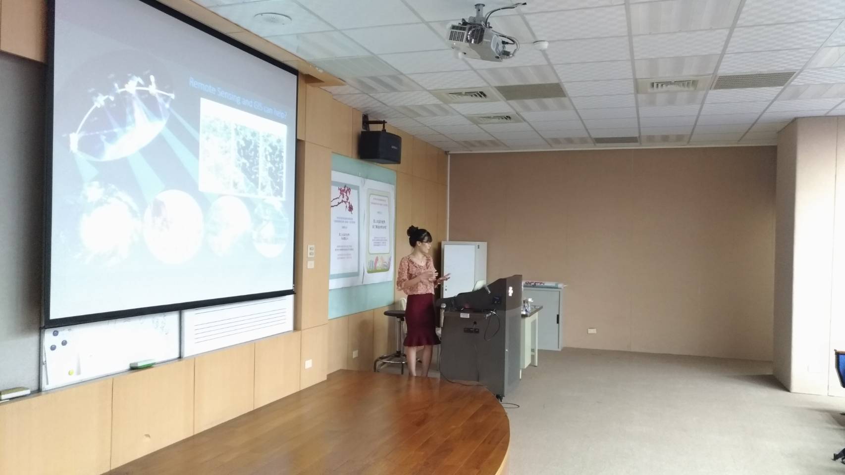
邀請於國立中央大學太空及遙測研究中心擔任博士後研究的阮金英(Nguyen Kim Anh)博士,在5月13日和應用空間資訊系大一與大二學生進行交流講座。講座題目是Current applications of GIS and remote sensing for environmental studies and management strategy。

【目標達成成效】
1.GIS(地理資訊系統)與Remote Sensing(遙測)皆是應用空間資訊系的主要課程之一。藉由阮金英博士的演講,學生已得知GIS(地理資訊系統)與Remote Sensing(遙測)的發展現狀、以及應用的領域。
2.演講過程中,阮金英博士以中英文穿插與學生對談,也使學生了解外語能力的重要性。
活動照片

活動影片